Chile: Days in the hippie valley

December 23rd, 2009 by David
The Elqui valley.

The Elqui valley.

After a couple weeks in the desert it was nice with a change of scenery. And less sand – we’d had it in our boots, our clothes, eyes, nose, ears…even the food had been crunchy at times. The bus south from San Pedro de Atacama took us to the town of La Serena, which isn’t exactly filled with sights but we stayed two nights to recover from the 17 hour bus-ride. The hostel we happened to pick was on a rather odour-intensive part of town, right next to a fish market. The town does have a fine museum though, with lots of Diagutia pottery painted with intricate geometric designs and psychedelic sticky-figure style animals and humans. The museum also sported a Moai statue from Easter Island, which the guidebook added had recently been standing in a park covered in graffiti and urinated on by drunks..

The craters of the moon.

The craters of the moon.

From La Serena we wanted to head up the Elqui valley (renamed by Chile as an escalation of the war with Peru over “Pisco” – distilled wine alcohol – considered by both countries to be their own invention). But first we made a stop in VicuƱa halfway up the valley for one night, to visit the Mamalluca observatory – one of the smaller space observatories here and one that is open for the public. We saw Jupiter and some of the same things as on the tour from Atacama, plus great view of the moon’s craters. The guide was a very enthusiastic space geek with the date and duration of every supernova in history memorized. We were a pretty big group crowding around the small telescope though, including some crying young children whose parents must have thought they wouldn’t find it a bit boring to wait around in the dark and cold for hours listening to talk of lightyears and redshift way past their bedtime.

The Pisco Elqui central square.

The Pisco Elqui central square.

Pisco Elqui the next day – it’s a charming little village – part wine-growing horse-riding cowboy town, and part hippie new-age place with craft shops and meditation classes. There’s actually a true hippie community living a few kilometers up a tributary valley, founded in the 60’s on the belief that “the Age of Aquarius has shifted the Earth’s magnetic center from the Himalayas to the Elqui valley”… Remember, you read it here first! šŸ˜€ At least where there’s hippies there’s great food – Pisco Elqui sported some lovely restaurants. Back in VicuƱa we’d suffered some fairly unpalatable fare – chicken and french fries with two fried eggs on top, all served with most of the grease they’d been cooked in.

Edel and Teresa horse riding in the Elqui valley.

Edel and Teresa horse riding in the Elqui valley.


We stayed three nights in Elqui – visiting a Pisco distillery one day and going horse riding another. The valley sides are pretty steep and we climbed up the desert hills by horse to look down at the green valley below, nearly all of it used for wine growing. Apart from Edel’s horse wanting to take a 65 degree shortcut down the hill it was a relaxing excursion.

After leaving the Elqui valley we headed for the charming and rundown town of Valparaiso.

Chile: Salt lakes and sand dunes

December 22nd, 2009 by David
Sand dune in Valle de la Luna.

Sand dune in Valle de la Luna.

I think I managed to sleep for 10 of the 11 hours of the bus to San Pedro de Atacama – probably a new record. Atacama is maybe the #1 tourist destination in Chile – the area has similar desert landscapes to east of Copiapo, but with a hundred times more visitors (we hardly saw a soul when we were out in the Nevado de Tres Cruces with Ovideo). San Pedro itself is quite a cute town – it has no reason for being other than tourism, but all buildings are low and blend in quite well with the desert. The driest desert on earth actually – some parts haven’t seen a single drop in the 400 years that we have bothered to keep a record. We took a rest day first (a bit more sleep couldn’t hurt) then got a tour to Valle de la Luna and Valle de la Muerte for the next evening – both very lunar or martian looking landscapes and completely dead. We did some barefoot sand-dune running, a walk through a salt-canyon and then sat down to watch the desert turn red at sundown with views towards the Licancabur volcano.

Tatio geysers.

Tatio geysers.

The next night we went on a tour to a private space observatory run by an eccentric Frenchman – the skies here are some of the clearest on the planet and there are big international observatories competing with each other all along northern Chile, the Very Large Telescope (VLT) recently outdone by the Overwhelmingly Large Telescope (OWL) which on top of being bigger also has a more clever acronym! The Frenchman had a collection of different-sized telescopes where we got to look at Jupiter, distant galaxies (one 8 million light years away!), nebulas and other tiny shining dots that become incredibly impressive once you know what you’re looking at. The tour was quite informative, with a cool green laser-pen to point out various constellations, and a funny commentary focusing mostly on how to use astronomy to pick up girls!

Flamingo flying over Laguna Chaxa.

Flamingo flying over Laguna Chaxa.

Next day we went to see another collection of salt flats and high-altitude lakes. Salar de Atacama is the worlds 3rd biggest salt lake, but it isn’t as dazzlingly white as the bigger Salar de Uyuni across the border in Bolivia – we saw lots and lots of flamingos though. The high-altitude lakes were Miscanti and MiƱiques – strangely cobalt-blue in a landscape of soft reddish pastel-coloured hills. On the way back to San Pedro we stopped at another unexpected dash of colour – a lush green oasis, figs and flowering trees and a small stream of fresh water in the middle of the desert. In the Toconao village next to the oasis a small parade happened to be going on at the same time we were there – brass-band and bored looking school-kids in costumes…and someone at the very end in a thick fur-costume who must have been sweating litres in the desert heat.

One of the Tatio geysers.

One of the Tatio geysers.

Very early start the next day – pickup at 4am to take us to the Tatio geysers. It was very cold to wait around in the desert night for the bus, which then took 2-3 hours to climb up the thermal area at 4300 meters altitude where it was even colder. Until the sun finally rose some half-hour later it was actually very tempting to dip the hands into the 80 degree water the geysers spit out… The geysers actually keep going the whole day, but all the tour operators time it to be here at sunrise since when the air is cool the hot steam from the thermal features is the most spectacular. And spectacular it was – particularly with the early morning sun catching rainbows in some of the bigger geysers. Each geyser runs on a separate schedule – some going 10min then sleeping 40min, some going an hour then sleeping one – the highest was sending water and spray some 30 meters up in the air. Tatio is more active than other thermal areas we’ve been to in other countries, and you can walk around freely with no fences which is nice (this will probably change once one or two more tourists has to take that one extra step too far to get the perfect photo though…fortunately Edel was there to keep an eye on me šŸ˜€ ).


Vizcacha in the Atacama desert.

Vizcacha in the Atacama desert.

On the way back we visited another hotspring with a bit more comfortable temperature to soak in. I would probably have killed for a dip back when we were waiting around in the cold before sunrise, but now the desert heat had already set in and you would start to get dizzy after a couple minutes. Spotted lots of Vizcacha nearby – it’s a cute fluffy animal that looks like a rabbit-squirrel. One final stop on the way back in another oasis, this one full of giant cactus hundreds of years old along a ravine with a river and several waterfalls running through it. With the air many degrees cooler than in the desert outside, and with a bit of humidity and some oxygen from the plants it was as refreshing as, well, an oasis!

VicuƱa in the Atacama desert.

VicuƱa in the Atacama desert.

Next we hopped on another monster-bus, 17 hours south, to La Serena – for the next post.

Chile: Into the desert

December 21st, 2009 by David
In the Museo Chileno de Arte Precolombino.

In the Museo Chileno de Arte Precolombino.

Finally back in South America again. We had kept a fairly high phase travelling and crossing borders for a while, buzzing in and out between Hong Kong, China and Macau, then Japan, Australia, Vanuatu and New Zealand in a short space of time…getting a bit tired of taking flights and filling in customs forms. Now it’s time to slow down – no fixed dates on the itinerary for nearly six months until the end of March. The long sliver of land that makes up Chile will be our home for the next two months. We’re starting in the middle, somewhat awkwardly, as the country is as long as from Norway to Niger, but will make one return journey from Santiago to the deserts of the north first, waiting for spring to arrive before making our way through the forests and fjords of the south towards Tierra del Fuego and eventually crossing in to Argentina.

Abandoned car in the desert.

Abandoned car in the desert.

We landed in Santiago with the worst jetlag of our life after the 11 hour flight… I never used to get jetlag at all but travelling east is always worse as you loose hours. Also I think it might have something to do with the entertainment kits on the airplanes being too good now with a hundred movies to pick from so you don’t sleep.. We arrived in the morning, slept the whole day, most of the night, then until 5pm the next day again. During the 4 days we stayed in Santiago we managed to at least visit one museum though, a very nice one with pre-Columbian art. It had many artefacts from places we visited on the last trip like Chavin and Tiwanacu – including some of the few gold pieces that escaped the conquistadores. It’s great fun to be back in South America after so long in Asia, for example the different attitude towards public affection….we saw a spectacular makeout session in a cafe in Santiago during one of our first days, and even more funny they were actually part of the staff!

Laguna Verde at 4500m altitude.

Laguna Verde at 4500m altitude.

From Santiago we got a 12 hour day-bus north, and just after dark we arrived in Copiapo which is the loudest place on earth (Chile had just won some sort of important football-thing..). Copiapo lies just at the southern edge of the big deserts – the Atacama stretch on for the next thousand kilometers north – and through the hostel we found a driver who could take us up towards the salt-flats and the altiplano the next day. Ovideo picked us up at 8am, and being a very competent desert driver he had already whisked us up to another four kilometers in altitude by an hour before noon. Between gasping for air we looked out at guanacos and vicuƱas and reddish hills and mountains stained in a rainbow of colours from different minerals…browns, reds, green for copper, yellow, orange, and grey on the high Ojos de Salado volcano. On the lower hills before entering Parque Nacional Nevado de Tres Cruces we passed some abandoned settlements and several copper mines (Chile is the worlds biggest exporter). We stopped for lunch by a mirror-blank Laguna Santa Rosa, full of flamingoes, at one end of the much bigger Salar de Maricunga salt flat. Climbing on towards the Argentinian border later we reached an even more stunning lake – Laguna Verde at 4500 meters – with a radiant bright green-blue hue it’s the most spectacularly coloured high-altitude lake we’ve seen anywhere. It’s a real other-worldly place, the air thin and biting cold, the lake surrounded by bright white salt-crusts with an equally bright-white mummified cow completing the eerie scene.

Naturally mummified cow by Laguna Verde.

Naturally mummified cow by Laguna Verde.

Cactus in the mist.

Cactus in the mist.

We decided to go on another trip with Ovideo the next day – to explore a national park on the coast instead. But first he took us to try out his new truck in the big sand dunes north of Copiapo. He knew all the tricks – emptying out most of the air from the tires first for better grip – then when we left the road again refilling them from a spare tire on the back he’d pumped to double pressure beforehand. Great fun going up and down the huge dunes, like an improvised roller coaster without a track! There was a bit of fog hanging over the desert landscape in the morning as well, so we could see even less where we were going. When we were done laughing we set off along the coast, towards the Parque Nacional Pan de Azucar. Ovideo stopped in a small fishing village on the way to buy himself a couple of the Conger Eels that you see on every menu in Chile – delivering us another round of laughter watching a big group of pelicans fight for the pieces as the fisherman skinned the fish. The man saved the best leftover cuts for his cat though.

Desert fox in the Pan de Azucar national park.

Desert fox in the Pan de Azucar national park.

Into the park next – a strange landscape of yellow hills and cactus which seemed out of place covered in fog and being right on the coast. From a second viewpoint we were looking down from sea-cliffs 700 meters high but couldn’t even see the ocean below, with wave after wave of thick cloud sweeping in over the cliff to cover us in a fine mist. Cactus and fog makes a surreal combination. We stayed for a while, fighting the temptation to share our sandwiches with a cute desert fox, and watching the tall cactus around us appear and disappear into the fog.

Flowering desert.

Flowering desert.


On the way back to Copiapo we stopped in a place where the coastal desert had come alive with a thousand flowers in different colours. Desierto florido is a special phenomenon here, happening every 4-8 years, where the whole desert wakes up for a brief moment in spring – I’m not sure if this is a good year or not, but this particular spot at least was very nice.

From Copiapo we headed on deeper into the desert to San Pedro de Atacama, for the next post.


In the Caleta Pan de Azucar fishing village.

In the Caleta Pan de Azucar fishing village.

Back in the Land of the Long White Cloud

November 22nd, 2009 by David
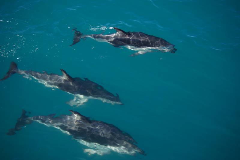
Dusky Dolphins outside Kaikoura.

Dusky Dolphins outside Kaikoura.

New Zealand is one of our favourite places to travel, and the one place from the last trip we’re returning to this time. The last time we started on the North Island and worked our way south, feeling like we were running out of time for some of the things we wanted to see on the south end of the South Island – so this time we’ll go the other direction. After first spending a couple days in Auckland trying to convince Teresa to jump from the sky tower (there’s nothing high in New Zealand that someone hasn’t strung a bungee from) we flew down to Christchurch on the east coast of the South Island and picked up a rental car. Rental cars are, by some strange accident of economics, almost for free in New Zealand – we were surprised to get the same per-day price this time as we had on the last trip back in 2005 (that time for six weeks in mid-winter low-season, now for three weeks in spring). At 22 kiwi dollars per day it’s less than 4 euro per person splitting on three… Ended up with an automatic though, which I haven’t driven for a decade…worked it out except for the mysterious L mode (..turns out to be same as 1).
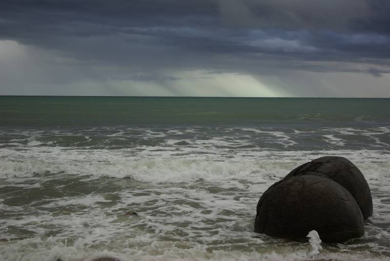
The odd Moeraki boulders south of Oamaru.

The odd Moeraki boulders south of Oamaru.

From Christchurch we headed up to Kaikoura to go whale watching the next morning. There’s a deep ocean trench called Hikurangi just off the coast by Kaikoura where the sea floor drops to a kilometer deep just the same distance out from the shore, and there’s sperm whales there year-round (and Humpback’s and Orca’s at different times a year). The crew on the boat used an underwater hydrophone to track a sperm whale as it was coming up to surface after a hunt, and we watched it at the surface for 5-10 minutes until it made a tail splash and dove down for more squid. After this we came across a large pond of Dusky dolphins which the boat continued to follow for a while (or was it the other way around?). It was nice to watch them from the boat this time – on the last trip we went out on a swim-with-dolphins tour in the depth of winter – we had booked it as a nice surprise for my brother Mikael who was joining us back then for a couple weeks..he’s as tall as me but 10 kilos lighter, and with no body fat whatsoever he actually sink by default in sea water, even with a full breath, and no full-body wet-suit could keep him warm…they had to put a hot-water hose inside the suit back on the boat to stop him from turning purple… It was pretty freezing, and all in all the dolphins are more peaceful to watch from the boat.
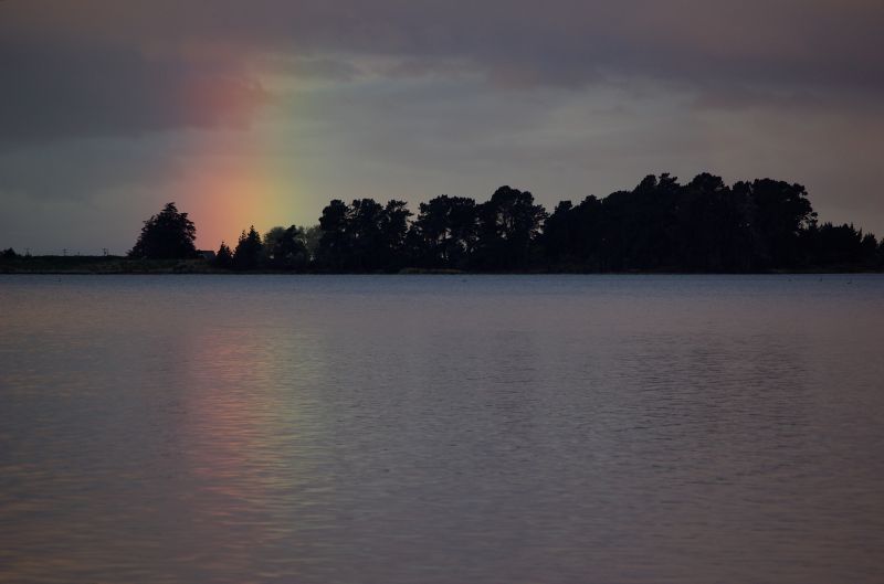
Rainbow at dusk south of Moeraki.
Rainbow at dusk south of Moeraki.

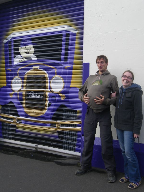
Too...much...chocolate...

Too...much...chocolate...

From Kaikoura back to Christchurch via Hanmer springs for some nice soaking in the hotsprings, then on to Dunedin the next day – stopping in Oamaru to have a look at the colonies of blue penguins there (the worlds smallest). In Dunedin we did a tour of the Cadbury Chocolate Factory (complete with a “chocolate waterfall”!) and were showered with enough samples to keep us off healthier fruit and granola bars in the car for several days.. Dunedin to Invercargill the next day via the Southern Scenic Route, passing the Catlins coast with nice fern-filled forests and waterfalls. This is the south-east corner of the South Island, where like on much of the west coast you can drive for hours without seeing anyone (we’re still a few months away from high-season luckily).

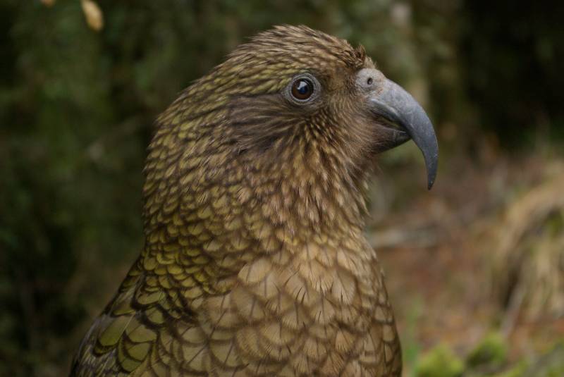
From Invercargill we continued the Scenic Route until reaching Fiordland, with white-capped mountains starting to appear on the horizon, and spent a night in a countryside hostel by a deer farm. Next day we continued to Milford Sound, the one of the remote Fiordland fjords that is reachable by road, with plenty stunning short walks to do on the way – gorgeous mossy forests around lake Gunn, and a trek up the 950m Key Summit from the Divide pass for some fantastic 360 degree panoramas – we could spot the glacial lake Marian that we trekked to on the last trip in the distance. Many of the curious alpine Kea parrots were hanging around the stops along the way.
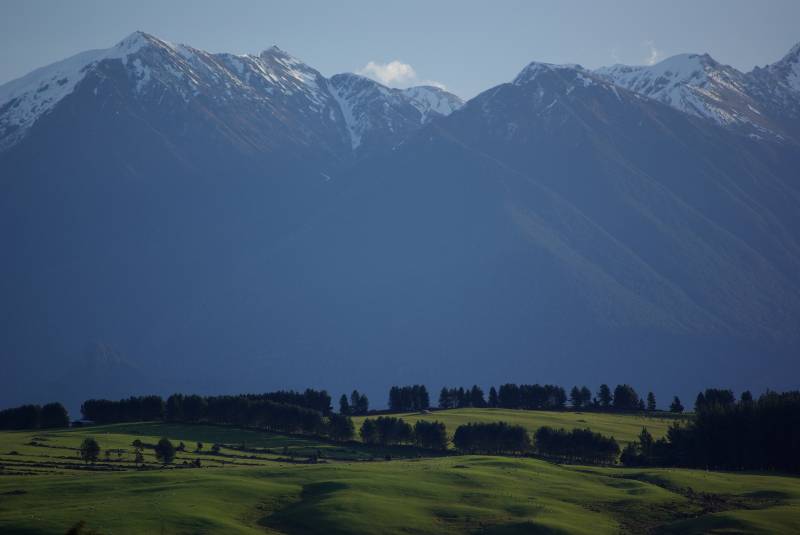
View from Barnyard Backpackers.
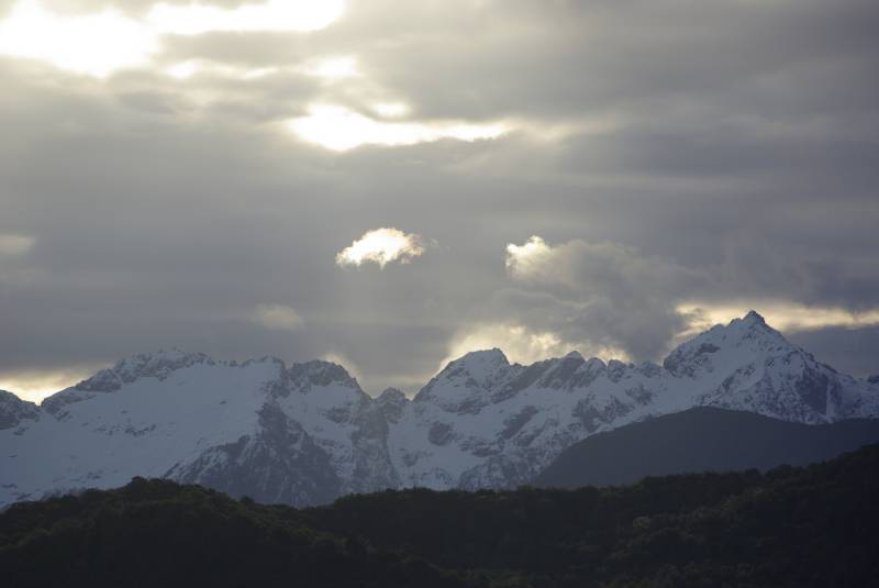
View from Barnyard Backpackers.

The Rainbow Reach mountains.
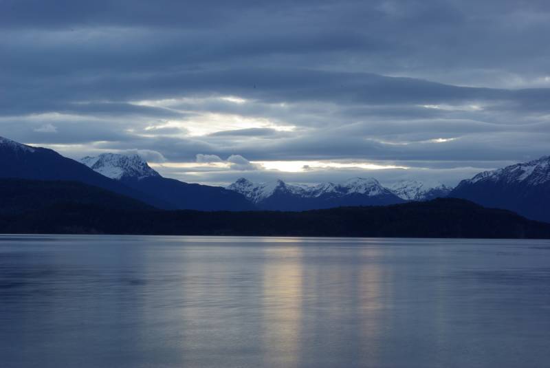
The Rainbow Reach mountains.

Sunset over Lake Manapouri.
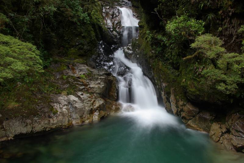
Sunset over Lake Manapouri.

Waterfall along the road to Milford Sound.
Waterfall along the road to Milford Sound.

Kea alpine parrot in Milford Sound.

Kea alpine parrot in Milford Sound.

In Milford Sound we got ourselves on a cruise of the fiord for the morning; this is where the scenery really topples over to outdo itself…steep high peaks that run straight down into the water – what the Himalayas would look like with a 5000m higher sea-level – and tall waterfalls crashing straight down from the mountains into the fiord, the spray catching rainbows in the early morning sun… Really spectacular. A couple bottle-nose dolphins followed the boat as it set out into the fiord.

Milford Sound is one of the absolute rainiest places in the whole world – 8000mm per year – but it actually held up while we were out…however the captain did manoeuvre the ship right in underneath some of the waterfalls to compensate.
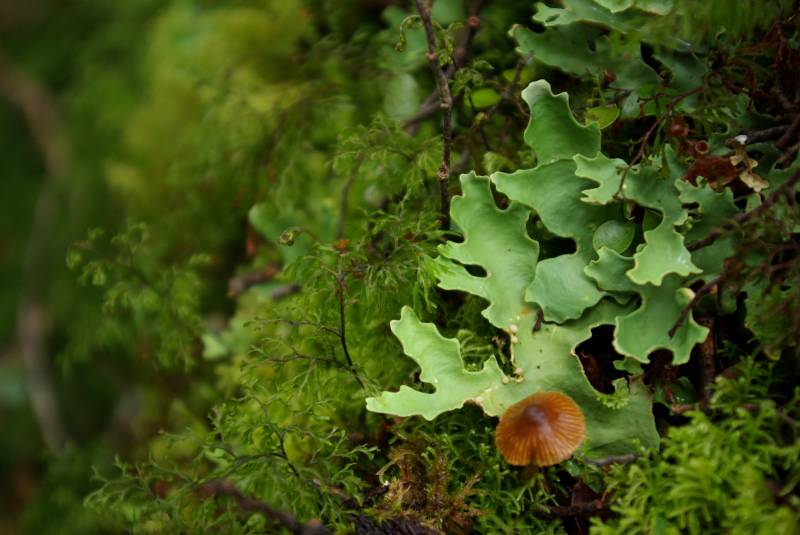
Mossy forest by Lake Gunn.
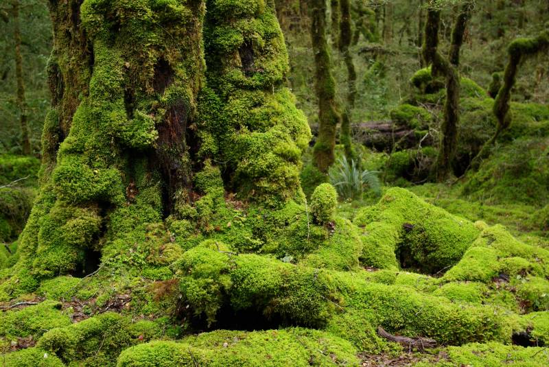
Mossy forest by Lake Gunn.

Mossy forest by Lake Gunn.

Mossy forest by Lake Gunn.

More nice stops on the way back from Milford, including the 200m Humboldt falls, then stayed in Te Anau which is the first town when driving back out from the fiord, and did a trip into a glow-worm cave in the morning. Glow-worms are insects that live in the cave ceiling and attract food to their sticky threads with a faint blue light, when the caves are really full of them like this one was it makes a pretty magical place – whole constellations and galaxies above as we moved around slowly in a small boat through the darkness and silence deep inside the cave. Before leaving Te Anau we also popped by a wildlife center, to see Takahe (flightless presumed-extinct-until-1950 bird) and more of the funny Kea and Kaka alpine parrots..spotted a spectacular mating dance in the Kea cage! (movie clip)
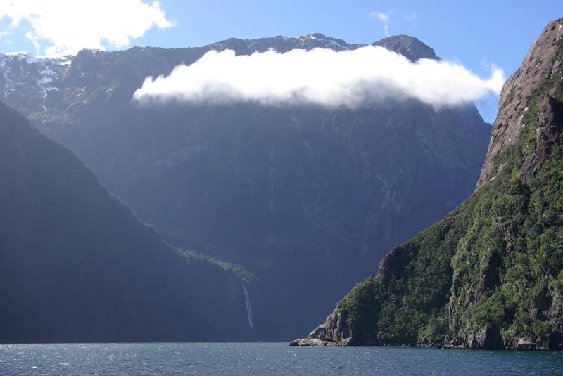
View over Milford Sound.
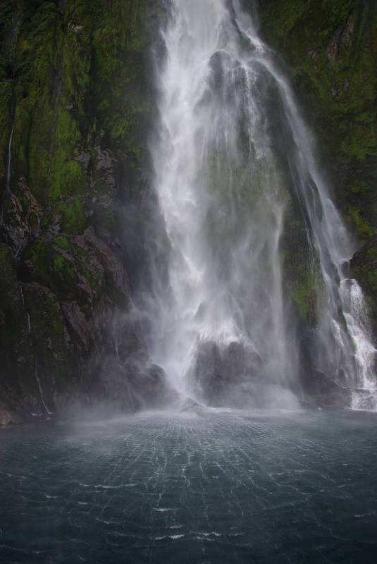
View over Milford Sound.

Waterfall in Milford Sound.
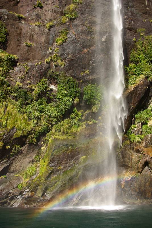
Waterfall in Milford Sound.
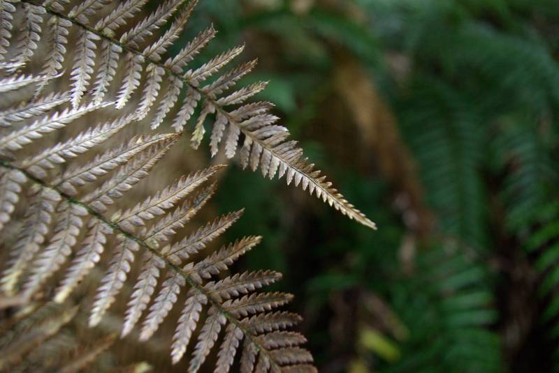
Waterfall in Milford Sound.

Waterfall in Milford Sound.

Fern in the forest below Lake Marian.
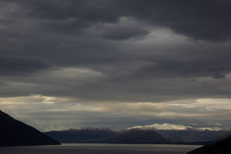
Fern in the forest below Lake Marian.

View between Te Anau and Queenstown.
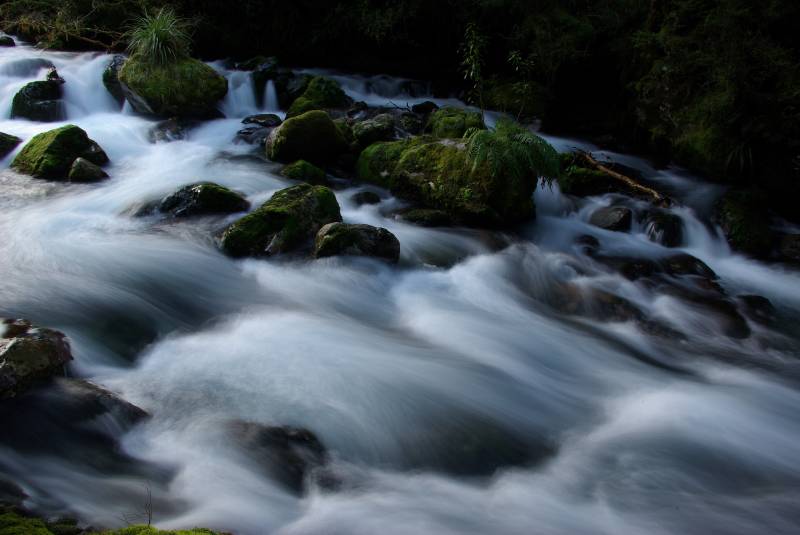
View between Te Anau and Queenstown.

Cascades in the forest below lake Marian.

Cascades in the forest below lake Marian.

Drove to Queenstown next – the NZ adrenaline capital – for some relaxing…the first time we spent two nights at the same place and it was nice with a break from driving. Did a jetboat tour on a river though, to do at least one of the adrenaline activities (it’s a special type of boat that can do 360’s and go on water just decimeters deep..going crazy fast right next to the canyon walls is a local speciality). The road there was nearly as adrenaline-inducing though actually…a broken old gold-digger gravel-road leading in to a deep canyon with big drops on the side…almost in a poor enough state at times to give us India flashbacks.
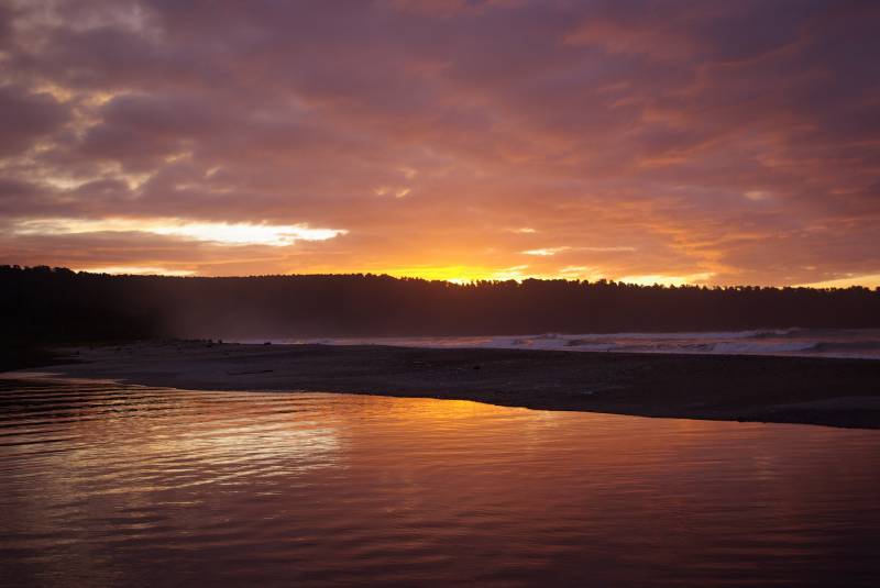
Sunset on the South Island.
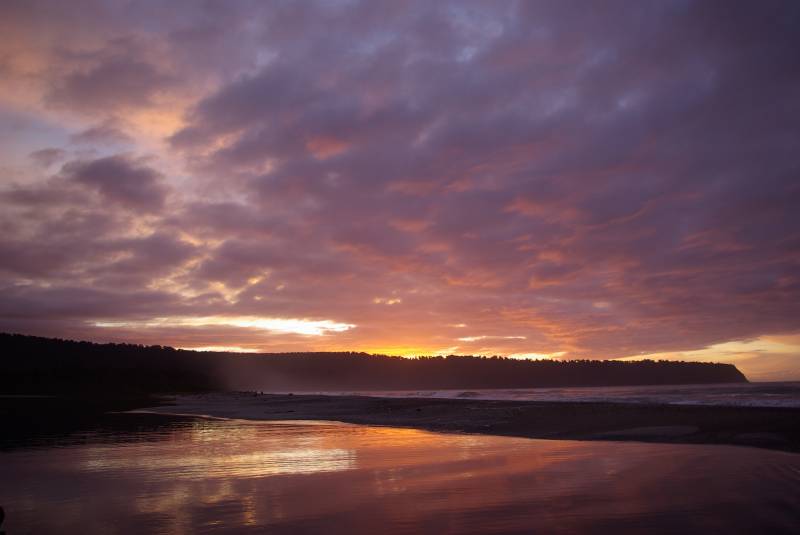
Sunset on the South Island.
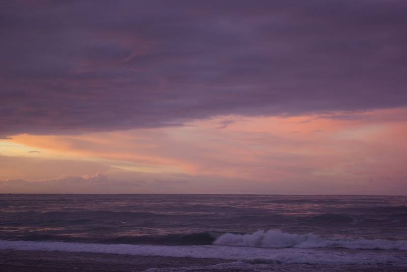
Sunset on the South Island.
Sunset on the South Island.

Sunset on the South Island.

Sunset on the South Island.

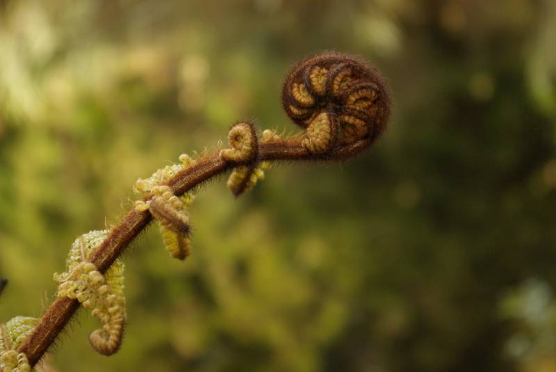
Fern on the Kahikatea Swamp Forest walk.

Fern on the Kahikatea Swamp Forest walk.

On towards Fox Glacier next – more stunning scenery and waterfalls along the way out towards the coast, stopping by a long beach full of drift-wood and doing a walk through a swamp forest full of ancient podocarps. Got a motel in Fox for a night and went for a sky-dive in the morning. I’d done one with Mikael on the last trip (he’s a brave man..I’m surprised he was up for getting pushed out of a plane after we had just nearly tried to kill him with the icy dolphin swim the previous week..). Fox is an awesome spot for it, with stunning views over two long glaciers and towards New Zealand’s highest mountain Mt. Cook as you go up in the plane, but I still wasn’t completely sure I wanted to this time…while I’ve done bungee-jump/tandem skydives/hang gliding/paragliding as well as Indian public transport before, I do still have a dislike of heights. My brain was fumbling around for an excuse… “150 euros..imagine how much chocolate you could…” but didn’t come up with a good enough one so up we went me and Teresa, Edel stayed behind to watch the tiny plane take off into the sky with us packed like sardines inside. Once it climbed high enough – about level with the peak of Mt. Cook at 12,000 feet – the plane slowed down and the engine quietened…goggles and gloves on…heart-rate up! The door swung open and Teresa + tandem-buddy swung their legs out and dropped first, disappearing suddenly without a sound – then me and my co-faller Deano moved into position – concentrating on forcing a smile for the camera on the wing…did it take the photo yet?…and aaaaaaaaaaaaaaaaaaaaaaaah! Accelerating like a falling rock for a few seconds until the wind resistance match the gravity at around 200 km/h. Great buzz, and it amazed me how much control the jumpers can have even during the freefall – Deano made sure we rotated around slowly for a full 360 view before opening the parachute. Spotted the other pair in the air a little later, and both did a smooth landing..felt like jumping up and down afterwards with the adrenalin buzzing…and Edel had to put up with us harping on about how great it was for the next 24 hours.
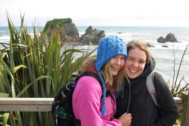
Edel and Teresa by Cape Foulwind.

Edel and Teresa by Cape Foulwind.

We drove up to Fox glacier next (passing the “glacier was here in 1850” sign a few kilometers back…yes, we’re in trouble) and did a short walk, then headed on to Greymouth with another nice west-coast sunset on the drive north. Another long day of driving the next day – stopping by the odd pancake rocks by the coast on the way, and the Cape Foulwind seal colony (like Poverty Bay, Doubtful Harbour and Cape Kidnappers named on some of Captain Cook’s less fortunate days…). Took the ferry from Picton to Wellington on the north island the next day, and drove up to Turangi. Had planned to walk the Tongariro crossing trek the next day, but the weather was a bit unpredictable – heavy rain the whole day before with park access closed, and actually heavy enough snow just a day after we passed through that cars got stuck through the night on the road! It actually held up the day that we had in between though, but we settled for some shorter walks just in case. The Tongariro national park is quite barren, with a little bit Connemara-type landscapes.
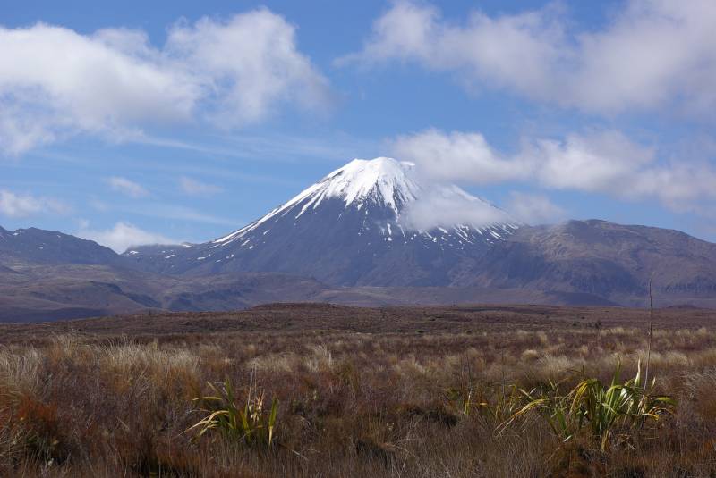
Tongariro national park on the North Island.

Tongariro national park on the North Island.

Continued on to Rotorua for out last stop before Auckland. It’s one of those rare places that you can actually smell long before you see it…covered in sulphur smoke seeping out through the ground all over it’s a hotspring and geothermal adventure land. We stayed three nights in a motel in town, and it rained nearly non-stop. Went to a polynesian spa one evening, nice with the cool drops of rain on your face while you’re soaking in the hotsprings, and went zorbing another day for another activity where it doesn’t matter if you get wet. Zorbing is a typical New Zealand invention where you hop inside a big transparent plastic sphere suspended inside an even bigger transparent plastic sphere, then roll down a long hill. Comes with a bucket of hot water thrown in for good measure, and you usually laugh the whole way down as you tumble around inside like socks in a washing machine. Felt like a nice way to round up the New Zealand leg of the trip.

More New Zealand photos.